METHODOLOGY
According to the assumptions that inspired this project, with the
intention to fully respect the funerary criteria in Jewish tradition,
work was based on the analysis and study of the documentation in different
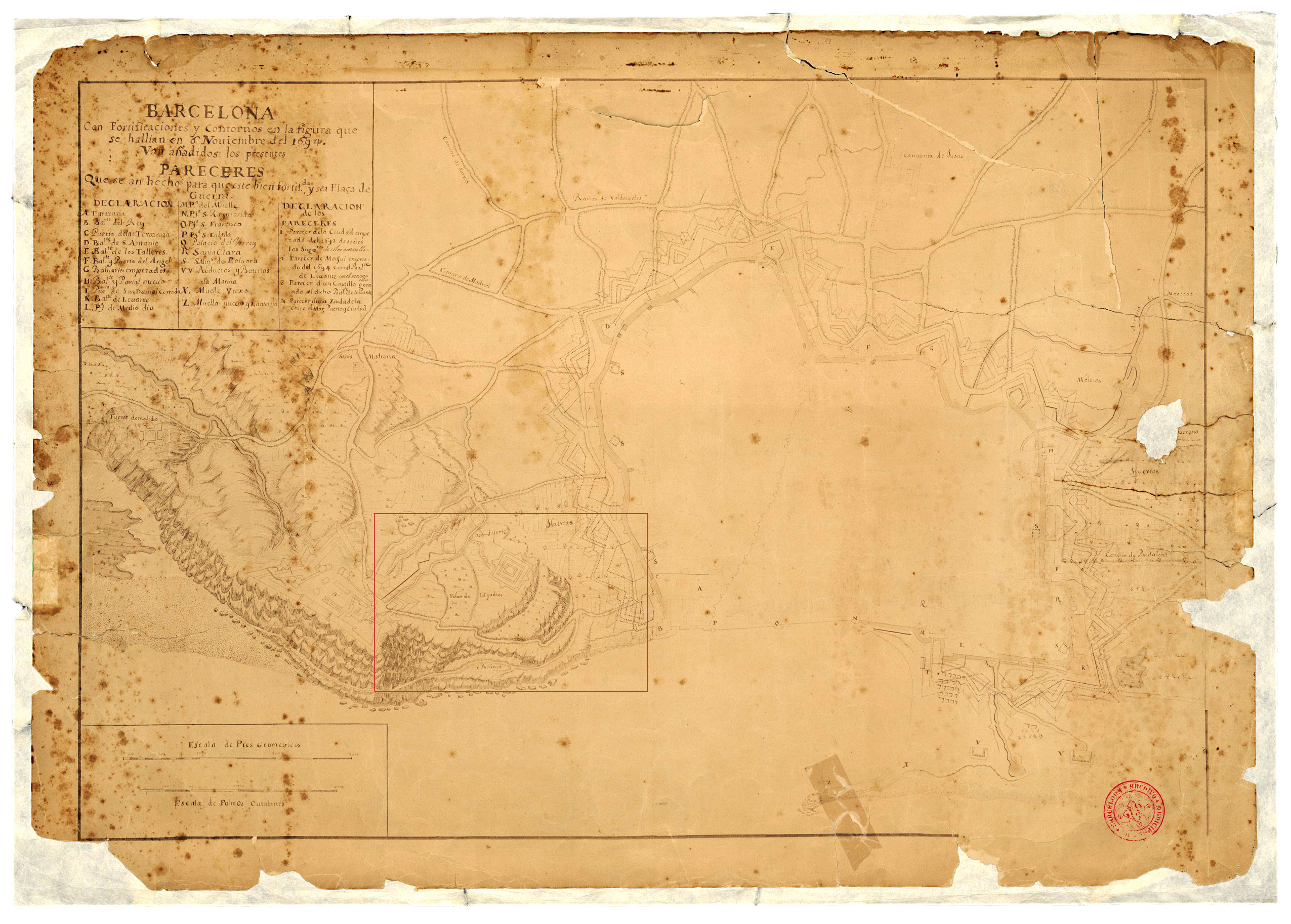
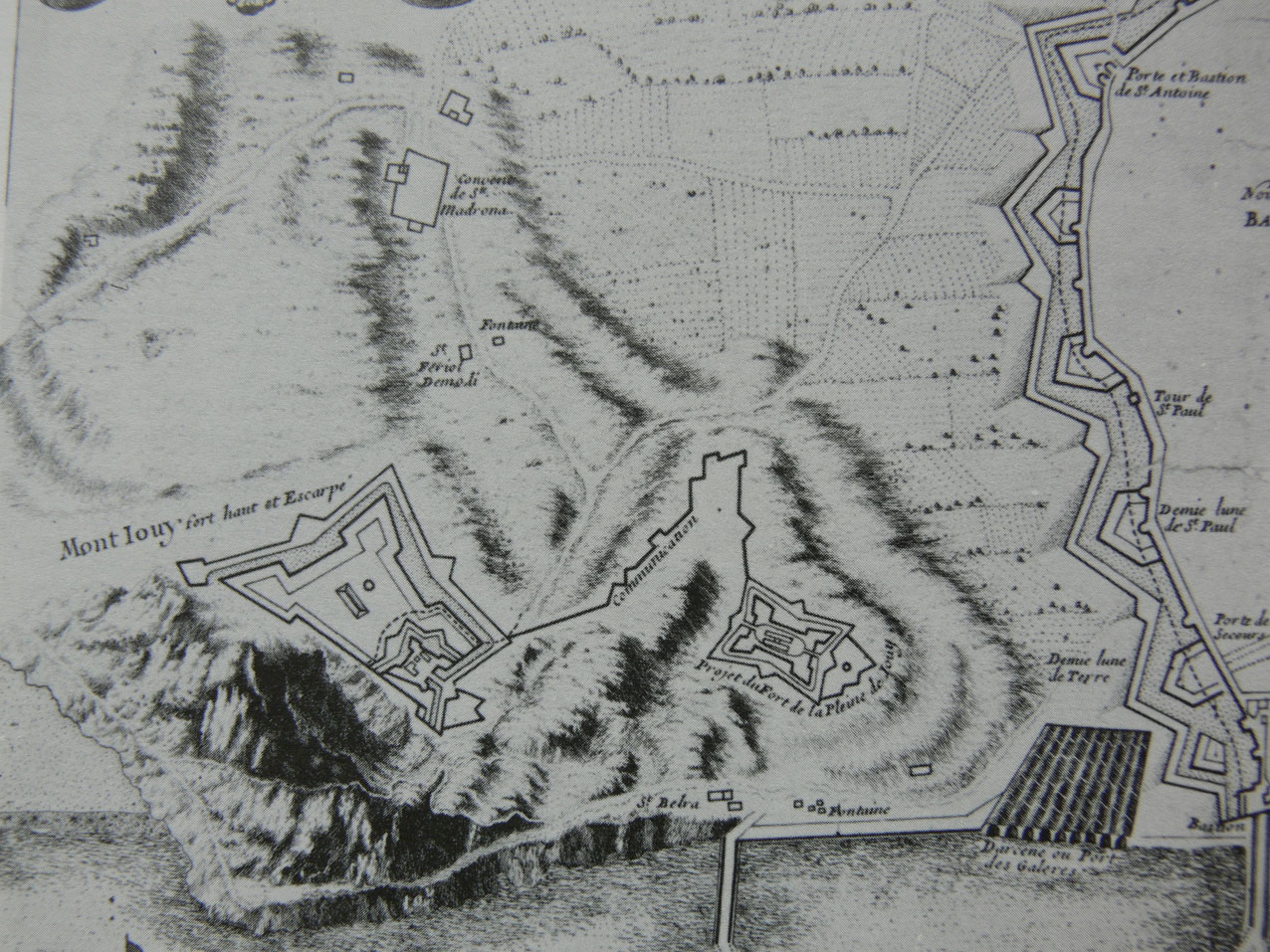
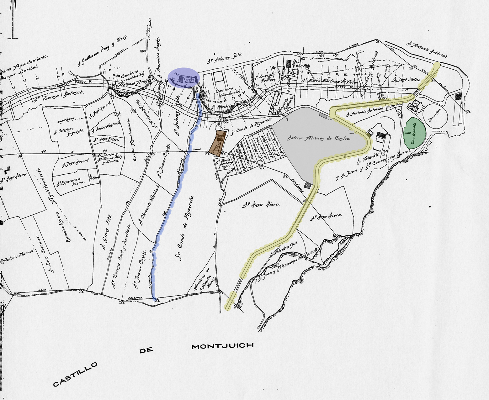
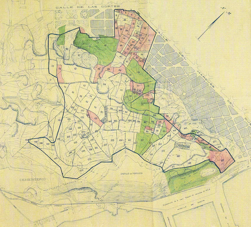
property archives for this part of Montjuïc.
We started with the most recent reference, a site plan kept in the
Contemporary Municipal Archive of Barcelona (AMCB) prepared for the
different expropriations made in preparation for the Exhibition site
of the National Electrical and National Spanish Industries, according
to the Law of 1914.
The protocols mentioned in these records, together with accurate site
plans, allowed us to know how transmissions and successive divisions
or aggregations of property were done, in a reverse line -from more
recent to earlier times-. This brought us closer to medieval origins
and to the information obtained from the documents of that period
kept in the Archive of the Crown of Aragon (ACH) and the Regional
Archives of Segarra in Cervera (ACS).
Crossing this with other information provided in other site plans
of the 17th to 20th centuries, it was possible to understand boundaries
and references to place names mentioned in the notarized protocoles.
This research allowed to reconstruct with great approximation, despite
the transformation of the area by human action, the delimitation of
the site of he cemetery.
Methodology
process [pdf]
|
|
|
1694
Barcelona with fortifications and contours.
Note a mention to ‘Fosar de los judíos’.
Arxiu Històric
de la Ciutat de Barcelona (AHCB) |
1697
The new plan of Barcelone. Dedicated
and presented to Monseigneur la Dauphin. Detail.
Paris
|
|
|
1851
Geometry plan of the jurisdictional
term of the City of Barcelona separated from the Village of
Gracia that were joined before.
Juan Soler y Mestres. Barcelona 1 de enero 1851. Arxiu Històric
de la Ciutat de Barcelona
(AHCB, 2843)
|
1912
Area of Montjuïc affectad by the
Promenade, Park and Gardens, as per master plan by the Joint
Commission amending a draft plan for urban development of rural
areas. General plan. J. Amargos. 12/1912. PC 109 PA-13
Arxiu Municipal Contemporani de
Barcelona
'Name places' indicated in color
|
|
|
1914
Plan of the farms acquired by the
City and the Board of Directors of the Exhibition 1914-1929
Arxiu Municipal Contemporani de Barcelona
(AMCB. Planimetria. R.2118) |
|
|